Rare August rainstorm to drench Northwest, British Columbia during summer ‘dry season’
Parts of coastal Washington, Oregon and British Columbia may pick up an entire month's worth of rainfall in a matter of hours into the weekend.

This image from Aug. 15, 2025, shows moisture over western Canada and the Pacific Northwest, associated with an unusually strong storm for the middle of August. (AccuWeather Enhanced RealVue™ Satellite)
Summer is typically the dry season in the northwestern United States and British Columbia, but an unusually strong storm is funneling Pacific moisture into the region. The storm would be considered formidable even during the middle of the wet season in the winter months, and may dump several months' worth of rain and cause flash flooding into Saturday.
"A plume of eastern Pacific moisture was directed at the Pacific Northwest until Friday night," AccuWeather Senior Meteorologist Brett Anderson said. "I would not quite call this an atmospheric river as there is no real direct connection to the tropics with this, but it could behave like one."

Much of southwestern British Columbia, western Washington and northwest Oregon is currently in moderate to severe drought; thus, this rainfall will be beneficial for most areas.
August rainfall in the region is typically very lean, with historical averages for the entire month ranging from 0.54 of an inch in Portland, Oregon, to 0.97 of an inch in Seattle and 1.53 of an inch in Vancouver, British Columbia. Rainfall totals from this storm can be one to two times this amount.

"With the ground being very dry and hard-packed, heavier rainfall that is expected along the coast and within the Cascades and Olympics will tend to quickly run off, which may increase the risk for localized flash flooding," Anderson said.
Some locations along the western slopes of the Olympic Mountains and the Washington Cascades received over 4 inches of rainfall through Friday night. The typical rain shadow that we see coming off the Olympic Mountains kept rainfall under 1 inch in the Seattle area.

The Cascades will screen out much of the moisture from reaching the central and eastern parts of Washington and Oregon. However, some showers are likely to make it through.
Motorists accustomed to summer driving when it rains very little should anticipate delays and slick conditions on the roads. Water may collect along highways with poor drainage.
"There are numerous wildfires burning across portions of western and northern Washington at this time, and this cooler and wetter pattern that is coming in should be helpful for firefighting efforts," Anderson said.
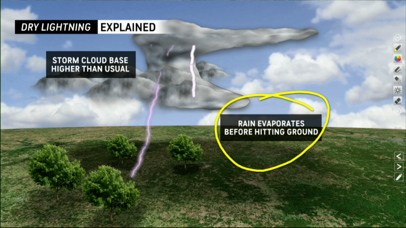
Some showers will dip as far south as parts of Northern California, mainly along the immediate coast and over the Siskiyous and northern Sierra Nevada. Lightning strikes may accompany the showers, which could be troublesome for wildfire concerns.
Meanwhile, over the interior Southwest, a surge of moisture from the Gulf will have the North American monsoon kicking into high gear with thunderstorm activity in New Mexico, Arizona, Colorado and parts of Utah into Tuesday of next week.

No appreciable rain is forecast to reach California from the monsoon.
Want next-level safety, ad-free? Unlock advanced, hyperlocal severe weather alerts when you subscribe to Premium+ on the AccuWeather app. AccuWeather Alerts™ are prompted by our expert meteorologists who monitor and analyze dangerous weather risks 24/7 to keep you and your family safer.
Report a Typo


