Strong winter storm slams Hawaii with heavy rain, winds and mountain snow
A winter storm, known locally as a Kona low, brought torrential rain, gusty winds and snow to the islands, and more stormy weather is expected before conditions improve later this week.
Downed trees, power lines, road closures and wrecked vehicles were among the heavy damage left in the wake of a gusty and rainy storm that swept through Wailea, Hawaii, on Dec. 19.
As temperatures take a nosedive across the eastern two-thirds of the United States this week, people who planned a holiday getaway to a tropical destination like Hawaii may have thought they were leaving the unfavorable weather at home. However, a winter storm that has been impacting Hawaii over the past two days from Oahu to the Big Island has created less-than-ideal conditions for those who live there and those who were hoping for a relaxing trip during the holiday season.
Each of the islands has experienced active weather over the past few days. As of Tuesday morning, some areas had picked up nearly 10 inches of rain in the past 36 hours, while gusty winds created numerous power outages and snow coated some of the island’s mountainous volcanoes.

In the northern part of Hawaii's Big Island, 9.84 inches of rain has fallen in Waimea. About 19 miles southwest, in PuuWaawaa, 8.89 inches of rain has fallen in the past 36 hours. In Holualoa, which is located a few miles southwest of PuuWaawaa, 6.61 inches of rain has fallen.
Wind gusts have soared to 56 mph in Kahului, located on the Big Island's west coast. Surrounding weather stations recorded the wind gusting from 30 mph to 40 mph.
One resident, located in Wailea, which is located on the west coast of Maui, took a video as blankets of rain slammed into the windows of their home. The gusty winds moved an umbrella and shook tree branches outside the window.
According to Hawaii News Now, power outages surged into the thousands Monday, but as crews quickly worked to restore the power outages, the numbers drastically declined by Tuesday morning.
As of Tuesday morning local time, a high wind warning, high surf warnings and flood warnings were still in effect for parts of the islands.

Radar shows heavy storms repeatedly battering the Hawaiian islands on Dec. 19 and 20.
AccuWeather Senior Meteorologist Jason Nicholls said the Kona low, a type of weather phenomenon unique to the area, is responsible for the relentless rounds of stormy weather across the islands.
"A Kona low is a subtropical cyclone that occurs during the cool season in the north-central Pacific," Nicholls explained. "These lows can produce heavy rain, hailstorms, flash flooding, high winds and severe thunderstorms. The rain tends to impact the leeward side of the islands thanks to the disruptions of the trade [winds]."
The leeward side is the side of the island that typically faces away from the incoming winds. This side of the island receives far less rain than the windward side, which is the side facing the wind. The landscapes on both sides are drastically different. The windward side of an island features lush landscapes and typically receives lots of rain, while the leeward side of an island is very dry and arid.

Blankets of rain slammed into the windows of a home in Wailea, Maui. (@waileaartist via Spectee)
The leeward side of the Big Island is also referred to as "Kona," which means leeward in Hawaiian.
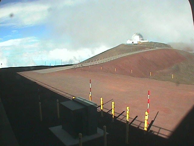
During a Kona low, atmospheric conditions can set up just right to create snow and ice on top of volcanoes on the Big Island.
On Monday afternoon, webcams spotted snow and ice on Mauna Kea. One webcam was covered with snow and ice, obstructing the camera's view. The Mauna Kea weather center reported temperatures of 21.2 degrees Fahrenheit on the summit of the volcano, and the winds were gusting out of the north at 85 mph.
"The Kona low responsible for the recent stormy weather will continue to lift out, leading to an easing of the west to southwest winds across Hawaii starting [Tuesday night]," Nicholls said. "Winds will remain westerly but will be much lighter from Wednesday into the weekend with shower activity becoming more isolated and lighter."


Want next-level safety, ad-free? Unlock advanced, hyperlocal severe weather alerts when you subscribe to Premium+ on the AccuWeather app.AccuWeather Alerts™ are prompted by our expert meteorologists who monitor and analyze dangerous weather risks 24/7 to keep you and your family safer.
Report a Typo


