AccuWeather 2025 U.S. Spring Forecast: Spring warmth to expand across the southern and central U.S.; chilly transition for 11 Northern states
AccuWeather Global Weather Center – Feb. 5, 2025 - AccuWeather long-range experts say early spring warmth will send temperatures climbing well above the historical average across much of the central and southern United States this year, while winterlike temperatures could linger well into the springseason in parts of the interior Northeast, Great Lakes and the Northwest.
"Spring is a season of change, and it will feel like a temperature roller coaster ride for millions of people this year,” AccuWeather Lead Long-Range Expert Paul Pastelok said. “Winter will overstay its welcome in parts of the Northeast. For many in the South, it will feel like summer arrived early in the middle of spring."
Meteorological spring starts on March 1, while astronomical spring begins during the March equinox at 5:01 a.m. EST on March 20.
WATCH: AccuWeather's 2025 Spring Weather Forecast and Severe Weather Outlook Webinar
WATCH: AccuWeather 2025 U.S. Spring Forecast Media Briefing with AccuWeather Lead Long-Range Expert Paul Pastelok
Passcode: h0HEZ%aC
Chilly transition to spring in the North
AccuWeather long-range experts say the first weeks of spring may feel more like winter across the northern half of the country this year.

This past January was the coldest January overall in the U.S. since 2011, which allowed more ice to form on the Great Lakes this winter.
The extensive ice cover is expected to suppress spring temperatures across parts of the Northeast and Midwest through the first weeks of spring.

Pastelok says people near rivers prone to ice jams should be vigilant for potential issues this spring.
“Watch for possible ice jams in March and April in the Midwest and northern Plains. A lot of ice formed on the rivers during the deep freeze in January. Large chunks of ice can break apart and disrupt the river current, which can cause serious flooding problems,” Pastelok said.
Lingering cold air will be a concern for farmers and gardeners in parts of the Northeast and Great Lakes. The last frost of the season may arrive days to weeks later than the historical average in some areas of the Northeast.

"The frost threat may last into the early to middle part of May," Pastelok said.
The last frost of the season may also occur later than the historical average in parts of southern and central North Carolina, northern and western South Carolina, as well as in pockets of northeastern Georgia.
The tug-of-war between milder spring air and bursts of colder air could allow for some late-season snow in the interior Northeast and the Midwest.
The potential for late-season snow combined with persistent chilly air could benefit ski resorts across the East by providing more opportunities to make artificial snow to extend the season. Some ski mountains across the East have struggled in recent years due to mild winter temperatures and a lack of natural snow.
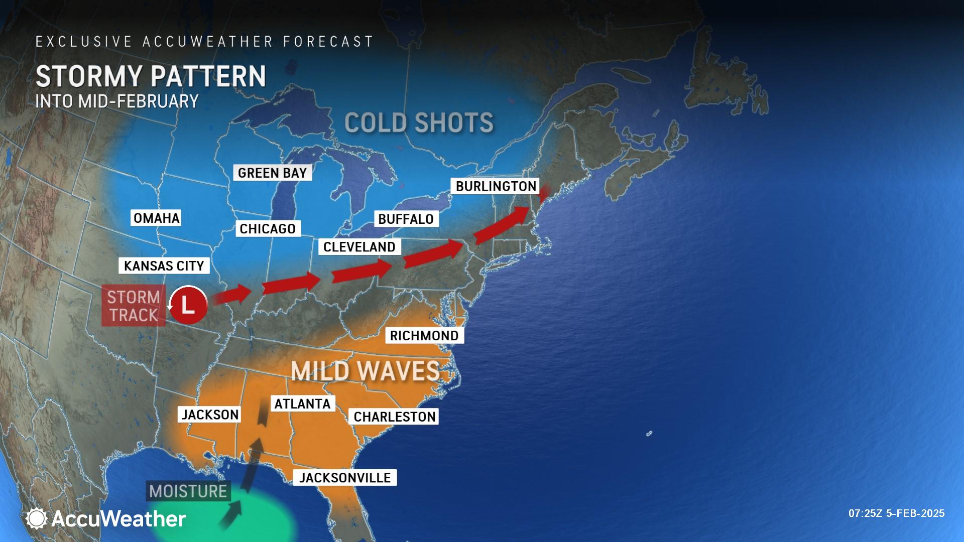
AccuWeather long-range experts say a colder start to spring is also expected across the Pacific Northwest due to a persistent pattern of stormy weather.
Spring surge of warmth across the South
AccuWeather long-range experts say overall springtime temperatures are expected to be at least 2 degrees Fahrenheit higher than the historical average across 18 states.
Arizona, New Mexico and western Texas are predicted to have some of the warmest weather, where temperatures throughout the spring could average more than 4 degrees Fahrenheit above the historical average.

"The Southwest will remain dry and heat up quickly. Drought will expand and intensify throughout the region from Southern California to the southwestern Plains,” Pastelok said. "We are concerned that there's going to be some low rivers and reservoirs going into the interior Southwest this coming spring, and that will really have an impact for the rest of 2025.”
Expanding drought paired with long stretches of warm weather could increase the risk of wildfires from the Southwest into the Plains.
Pastelok said drought is also a concern this spring in the northern Plains.
"Storms have passed through this area with little snow or rain this winter so far," Pastelok explained. "This trend should continue."
Shifting spring severe weather pattern
AccuWeather long-range experts say the focus of springtime severe weather this year is expected to shift away from the area where it was concentrated in 2024.
"The focus will be more over the Mississippi Valley and Tennessee Valley for severe thunderstorms that can spin up tornadoes, rather than traditional Tornado Alley,” Pastelok said. “Chicago, St. Louis and Memphis are all cities to watch this spring.”
Cooler air and cold waters in the Great Lakes will help to suppress severe weather downwind of the Lakes across the Ohio Valley and the Northeast during the first half of the season, until temperatures rise and the potential for severe weather expands heading into May.
Pastelok says moisture and warmth from the Gulf of Mexico could amplify severe weather threats this spring in the Mississippi and Tennessee valleys.
“Water temperatures cooled dramatically during the historic southern winter storm that brought snow to the Gulf Coast in January. Those water temperatures are expected to rebound in February and March,” Pastelok explained. “Warm and moist air from the Gulf can help support fuel thunderstorms in the Mississippi Valley and Tennessee Valley. Warmer waters in the Gulf can also support higher air temperatures across the Gulf Coast and Southeast this spring.”
The Florida peninsula is expected to avoid most of the severe weather threats this spring.
"Dry and pleasant spring conditions may turn into early heat and drought conditions by May across Florida," Pastelok said.
AccuWeather long-range experts will issue the 2025 US Severe Weather Forecast on March 5.
La Niña lingers into spring
Water temperatures in the equatorial Pacific Ocean play a major role in weather patterns around the world, and where storms track over the United States.
AccuWeather long-range experts say La Niña is currently underway. Water temperatures reached official La Niña status in late December.
The La Niña pattern occurs when sea surface temperatures in the central and eastern Pacific Ocean drop to lower-than-average levels for an extended amount of time. This process is the exact opposite ofâ¯El Niño, a phase in which sea surface temperatures rise to above-average levels.
La Niña, which translates to "little girl" in Spanish, and El Niño, which translates to "little boy" in Spanish, are two phases of a three-pronged natural climate pattern that occurs across a large portion of the tropical Pacific Ocean known as the El Niño-Southern Oscillation (ENSO). ENSO's three phases are broken down into La Niña's cool phase, El Niño's warm phase and a phase that is neither warm nor cool, known as neutral.
Meteorologists often refer to the effects of climate patterns using a concept known as teleconnections. Teleconnections are a series of factors, like sea surface temperatures, that can have implications on weather conditions in areas far from the origin of those factors.
La Niña can shift where the core of severe weather erupts over the U.S. during the spring, what part of the West Coast is the focal point of storms from the Pacific, and what parts of the country have more cooldowns than dramatic warmups.
"We are looking at a weak La Niña setup as we go into the start of the spring season," Pastelok explained. “Even if La Niña ends during the spring, there is a lag where it can have a continual influence on the atmosphere and the overall storm track across North America.
How our warming climate is impacting the spring season
AccuWeather Senior Meteorologist and Climate Expert Brett Anderson says the overall trend for the spring season in the U.S. is getting warmer.
Climatological records show that average spring temperatures have increased roughly 2 degrees Fahrenheit across the contiguous U.S.â¯since 1970.
“The AccuWeather 2025 U.S. Spring Forecast for the Southwest favors warmer and drier conditions compared to the historical average, which is in line with the longer-term spring trends that we are seeing for precipitation and average temperature. Many areas, especially across Arizona and New Mexico, are warming an average of 0.5 to 1degree Fahrenheit per decade during the spring season,” Anderson explained. “Large portions of Southern California and Arizona are losing an average of 0.5-1.5 inches of precipitation per decade during the spring. There has also been a notable decrease in the frequency of spring river flooding across large portions of the Southwest during the spring season since the mid-1960s.”
Anderson says the forecast for the Great Lakes also parallels climatological trends.
“AccuWeather’s 2025 U.S. Spring Forecast for the Great Lakes mirrors the longer-term climate signals of a slight increase in spring precipitation in the region.
Anderson says the overall trend of warmer spring seasons in the U.S. can mean an earlier and more intense seasonal allergy season, earlier mountain snowmelt, and a longer growing season for farmers and gardeners.
Warmer springs can also lead to more problems with pests like ticks and mosquitoes becoming active and reproducing earlier in the season.
Report a Typo


